


- 5:30 h
- 14.08 km
- 696 m
- 1,279 m
- 1,012 m
- 2,296 m
- 1,284 m
- Start: Engelberg, Brunnibahn Ristis
- Destination: Engelberg, Brunnibahn Talstation
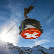
Ascent: It's a 15-minute walk from the train station in Engelberg to the cable car station that will whisk you up to Ristis (alt. 1,606m). From here you hike on a good path towards the northeast. After Rigidalstafel, the trail leads you above the cliffs and on to Tüfelstein. Shortly afterwards you cross a brook and head up a scenic trail through a rocky karst landscape to the beautifully situated Rugghubelhütte. (Time needed: 2.5 hours)
Here at the hut you'll find plenty to eat and drink. There are even some rocks for children to practice climbing on. The SAC hut is manned from June to October and it also offers good accommodation.
Descent: The way back is along the same trail. Alternatively, you can take a steeper path from Rigidalstafel straight back to Engelberg, or a better path from Ristis back to the base station of the cable car. Of course, you can also take the cable car down. From the hut to Ristis it's a two-hour hike, and to Engelberg it's three hours.
Note(s)
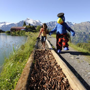
This tour is also suitable for children.
See also
For Supported Areas
GEO-Tracks GmbH
Zugerstrasse 1
CH-6330 Cham
Web: www.gps-tracks.com
E-Mail: touren@gps-tracks.com

Good to know
Best to visit
Directions
Tour information
Familiy-Friendly
Loop Road
Mountain Railway Tour
Nature Highlight
Stop at an Inn
Tour with Dog
Directions & Parking facilities
Organization
Engelberg-Titlis Tourismus
Author´s Tip / Recommendation of the author
Nearby


