- Photos & Map
How would you like to arrive?
- Description
- Good to know
- Nearby
Download GPX file
- 4:39 h
- 17.60 km
- 188 m
- 187 m
- 743 m
- 858 m
- 115 m
- Start: Oberschongau, Church
- Destination: Oberschongau, Church
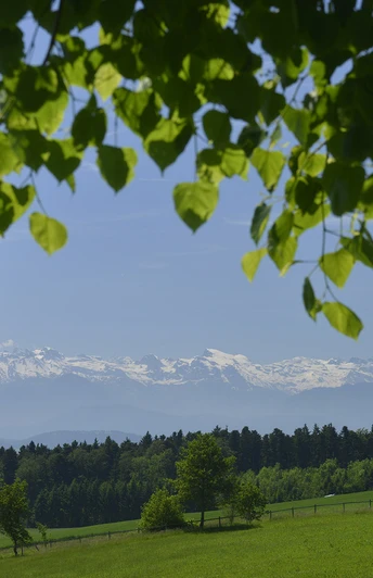
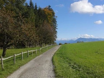
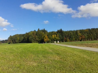
The circular hike starts in Oberschongau at the church and leads you through the forest on the Lindenberg to the Alpwirtschaft Horben. The alpine hut is located at 800 m above sea level and rewards you with delicious food and desserts. Furthermore, in good visibility, you can enjoy a wonderful panorama. The Alpenzeiger near the alpine hut shows you which mountains are visible. Afterwards, you hike through the Sulzer Forest to the Sulzer Cross. There the path leads over a sunny meadow to Müswangen. The Gasthaus Hämikerberg with a great view of the Central Swiss and Bernese Alps invites you to enjoy the sunset. Finally, you walk back to Oberschongau along the forest edge.
Tip: on the webcam of the Alpwirtschaft Horben (www.horben.ch) you can see in autumn/winter whether Horben is free of fog!
Good to know
Pavements
Best to visit
Directions
Tour information
Loop Road
Stop at an Inn
Directions & Parking facilities
Additional information
Seetal Tourism
Niederlenzerstrasse 25
5600 Lenzburg
+41 (0)41 920 45 29
[email protected]
www.seetaltourismus.ch
Author
Seetal Tourismus
Organization
Seetal Tourismus
Author´s Tip / Recommendation of the author
- Alpwirtschaft Horben: www.horben.ch
- Gasthaus Hämikerberg: www.gasthaus-haemikerberg.ch
- BnB Swiss Seasons in Schongau: www.swiss-seasons.com
Map
National map 1:25,000 (Federal Office of Topography swisstopo) sheets Hitzkirch and Hochdorf
Hiking map 1:50,000 (Federal Office of Topography swisstopo) sheets Zürich and Rotkreu
Nearby


