- Photos & Map
How would you like to arrive?
- Description
- Good to know
- Nearby
- 6:00 h
- 25.59 km
- 1,763 m
- 1,157 m
- 997 m
- 2,229 m
- 1,232 m
- Start: Engelberg
- Destination: Älggialp
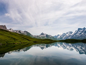
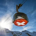
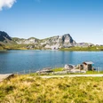
In Engelberg, take the cable car to Lake Trüb and change there to the chairlift to the Joch pass. The following section is one of the most beautiful in Central Switzerland for hiking. From Lake Engstlen you pass over the Spycherflüe to Melchsee-Frutt. The second part of the trail takes you past the Hochstollen and along rocky paths to Lake Seefeld. The hike continues through the marshy Sachsler Seefeld nature reserve to the geographical centre of Switzerland at Älggialp. A night on the Älggialp is something very special.
Walking time: approx. 6 hours | Distance: 20 km (not including cableways) | Total elevation gain: 563 m (including cableways: 1,763 m ) | Total elevation loss: 1,157 m
Good to know
Pavements
Best to visit
Directions
Tour information
Mountain Railway Tour
Stop at an Inn
Summit
Equipment
Directions & Parking facilities
Additional information
Further information on the Tell Trail: www.luzern.com/telltrail
Author
Laila Bosco
Organization
Region Luzern-Vierwaldstättersee
Author´s Tip / Recommendation of the author
Safety guidelines
• Good surefootedness
• Average navigation skills
• Elementary alpine experience
Nearby


